RoadLens – What’s Ahead
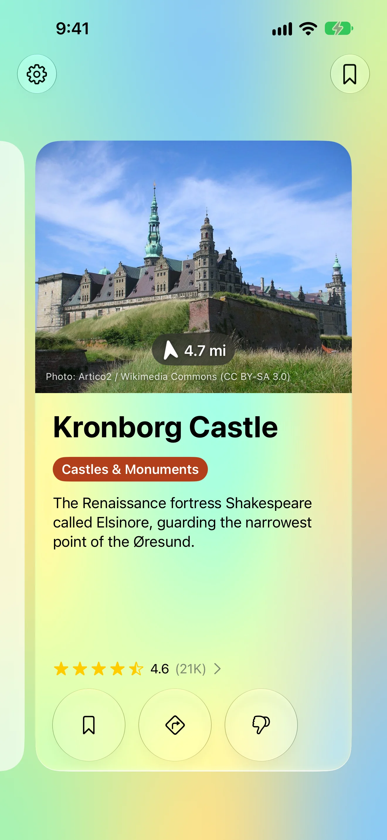
Sights worth stopping for, one card at a time. Mount your phone and drive — when a castle, beach or museum is coming up, RoadLens shows a photo, how far it is and which way to look. No destination, no route, no scrolling. On Apple Watch, the same radar runs on its own.
View release notes →
iPhone
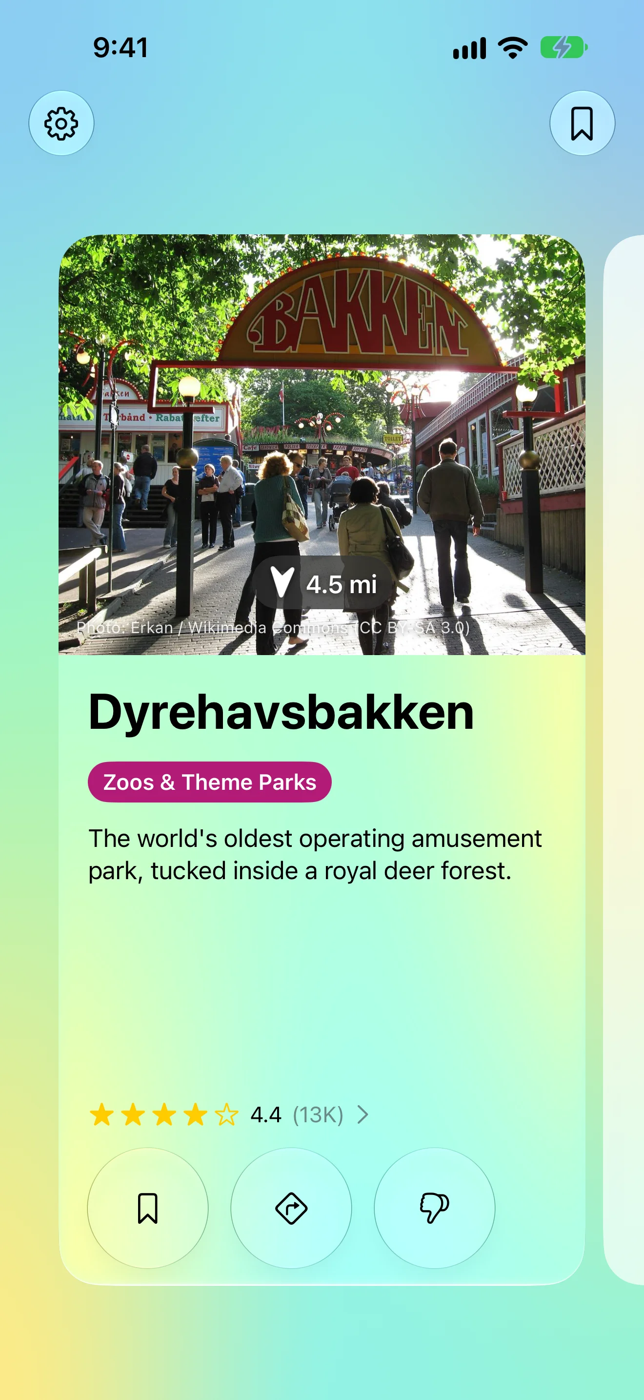
Worth Stopping For, Just Ahead
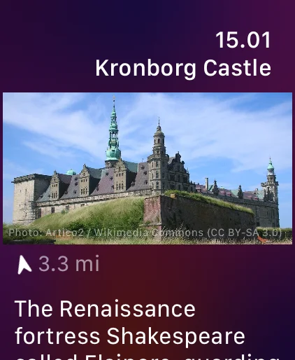
A photo, how far, which way — on your wrist too
How Far, Which Way
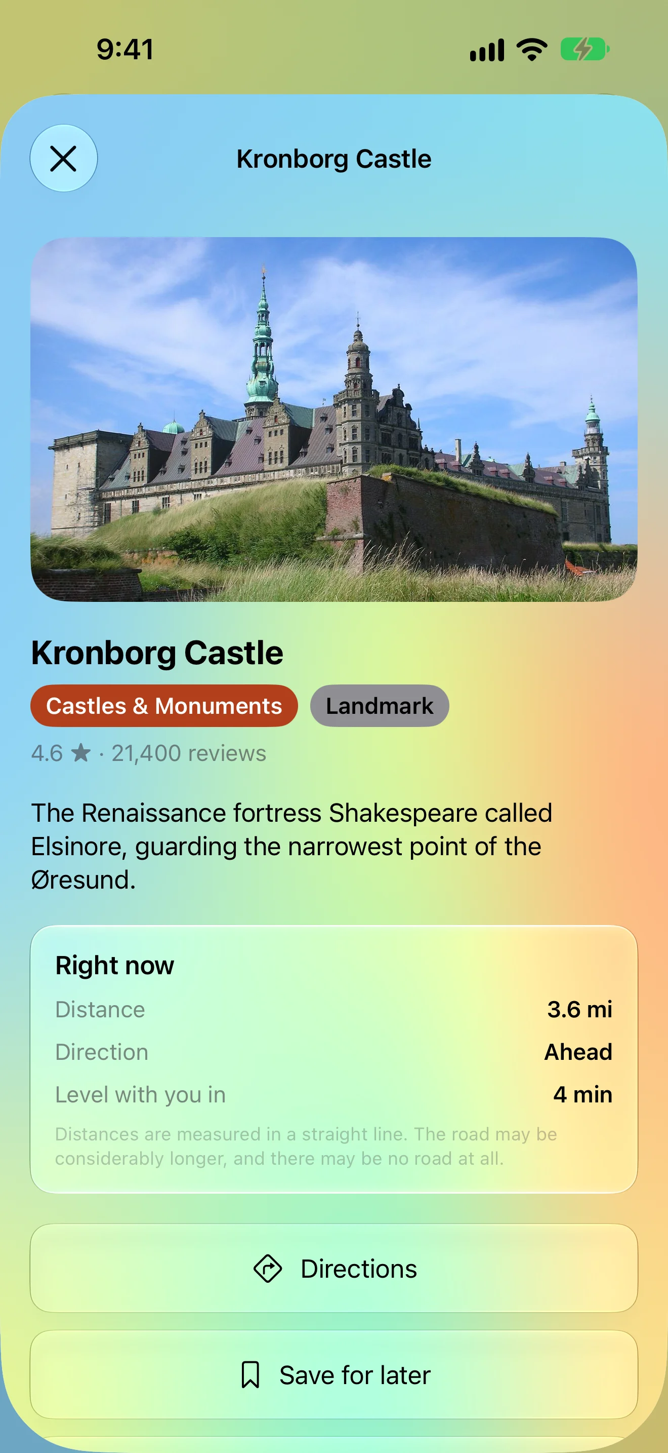
Distance, direction, and when it’s level with you
Missed One? Swipe Back
Every place from this drive, one swipe away
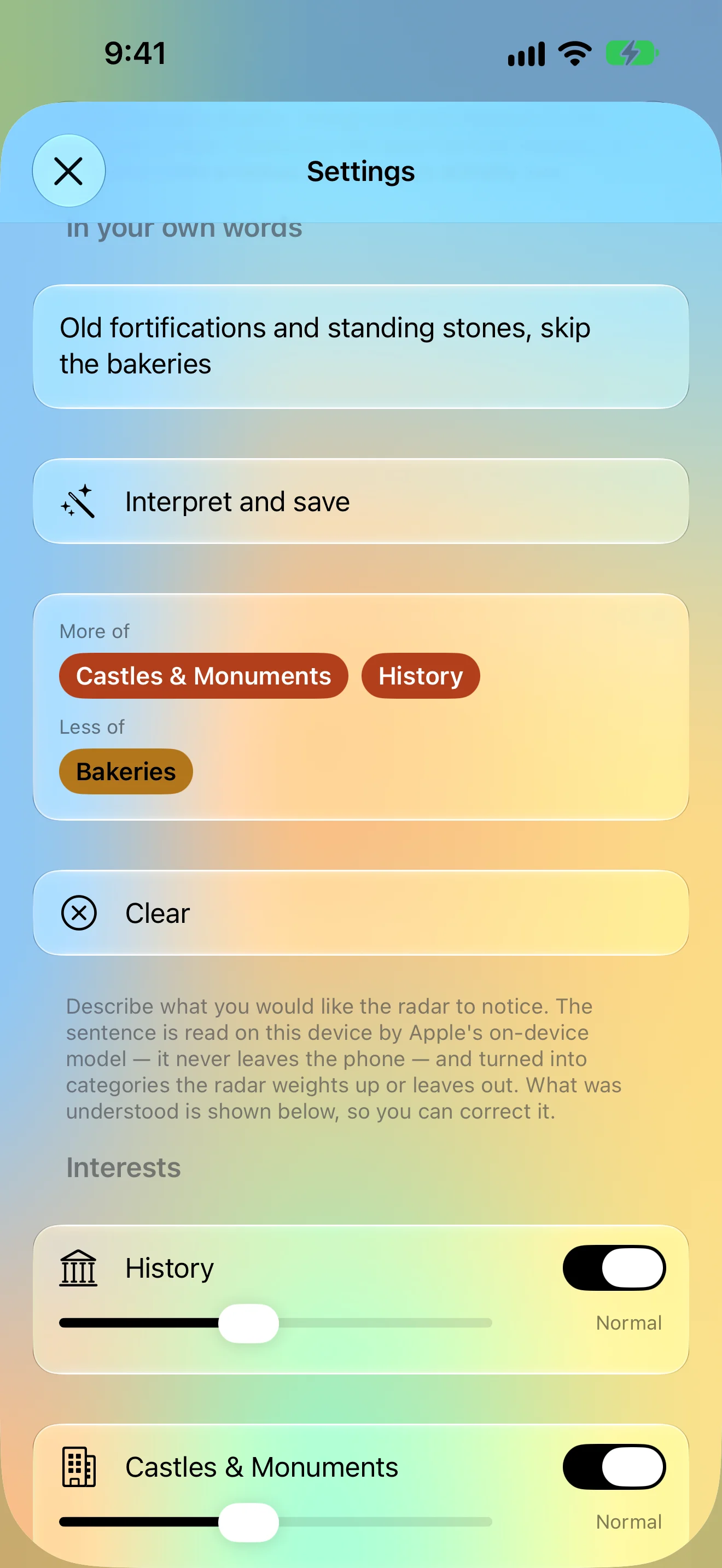
Say What You’re After
One sentence retunes the radar
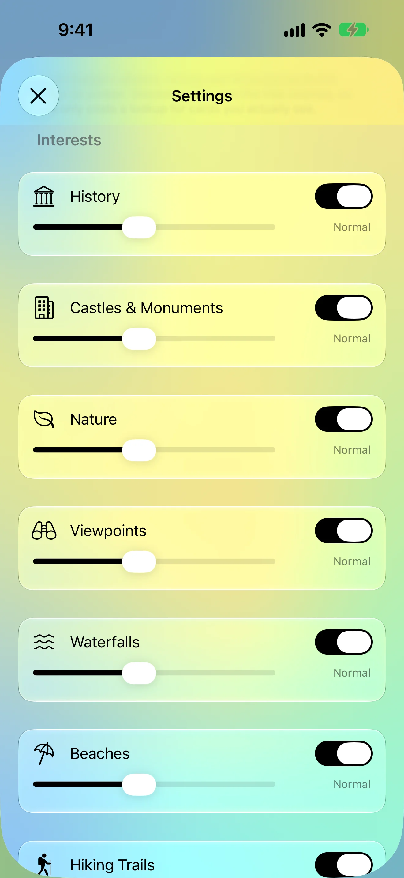
Only What You Care About
Switch and tune every category
iPad
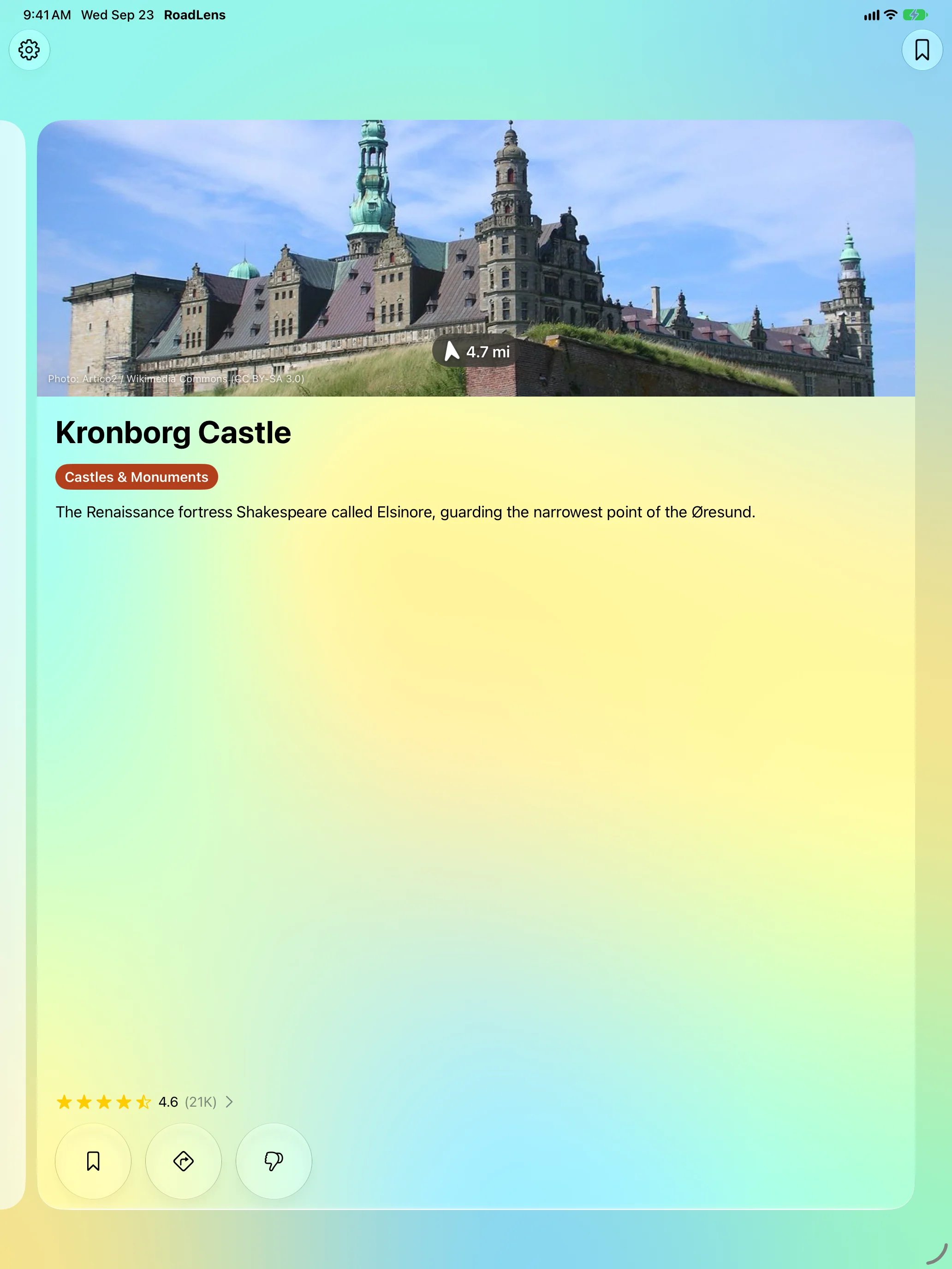
Worth Stopping For, Just Ahead
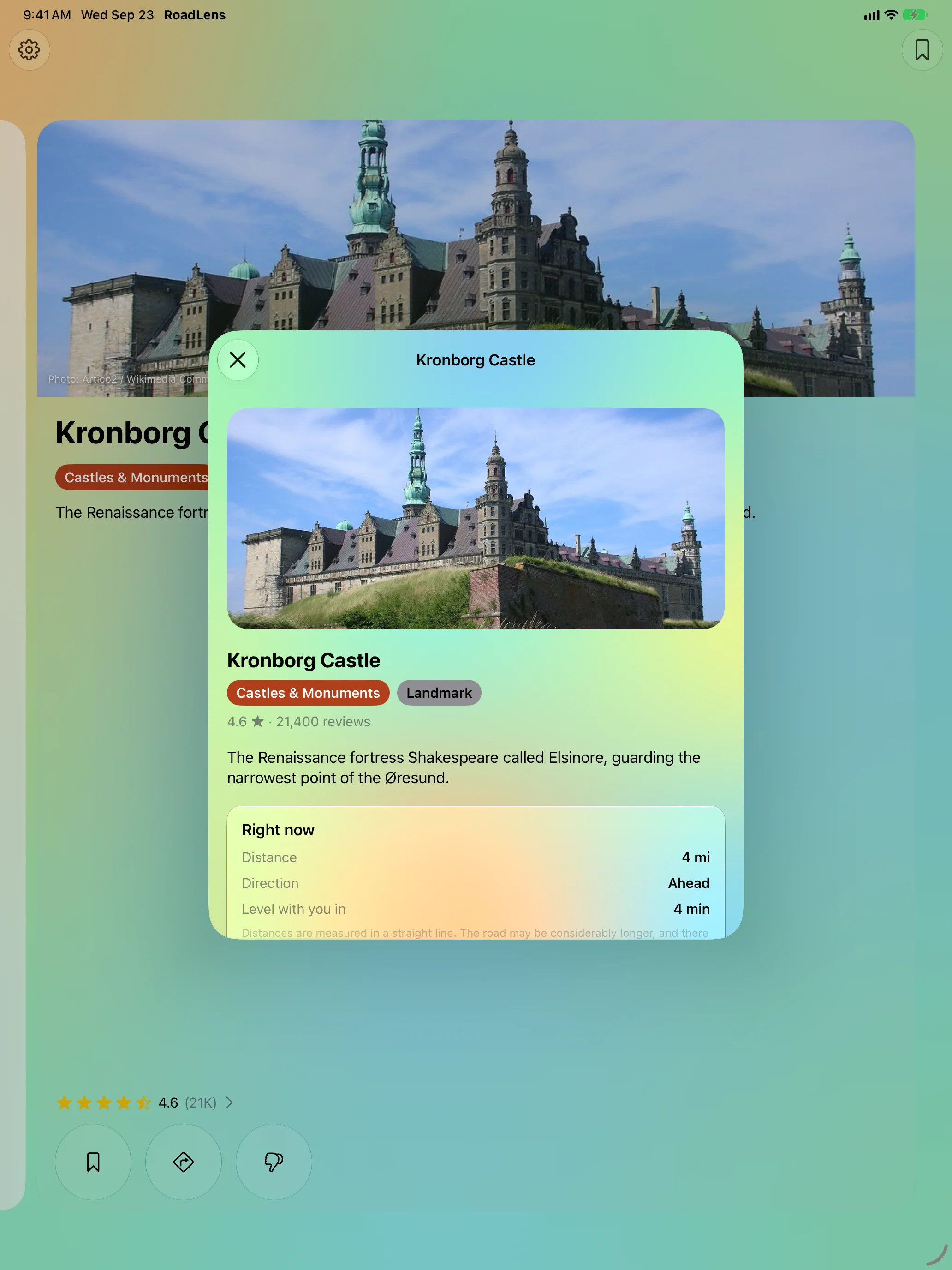
How Far, Which Way
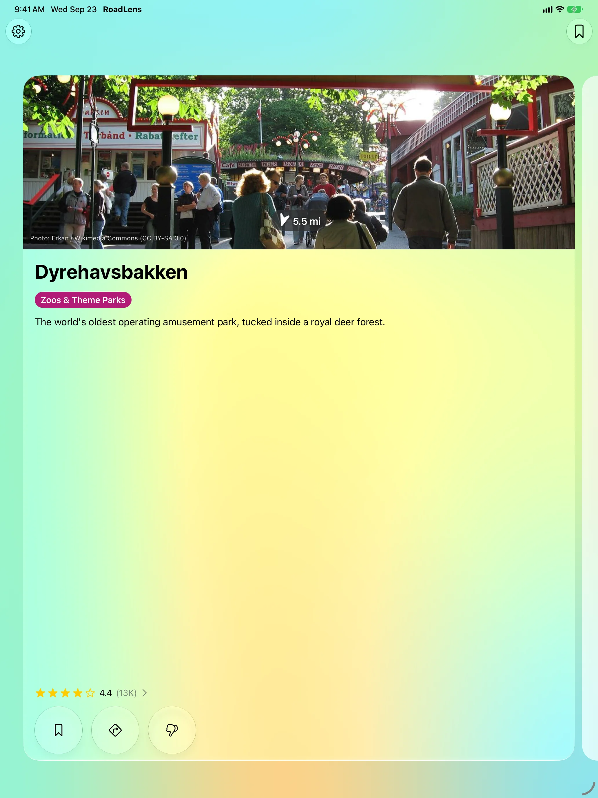
Missed One? Swipe Back
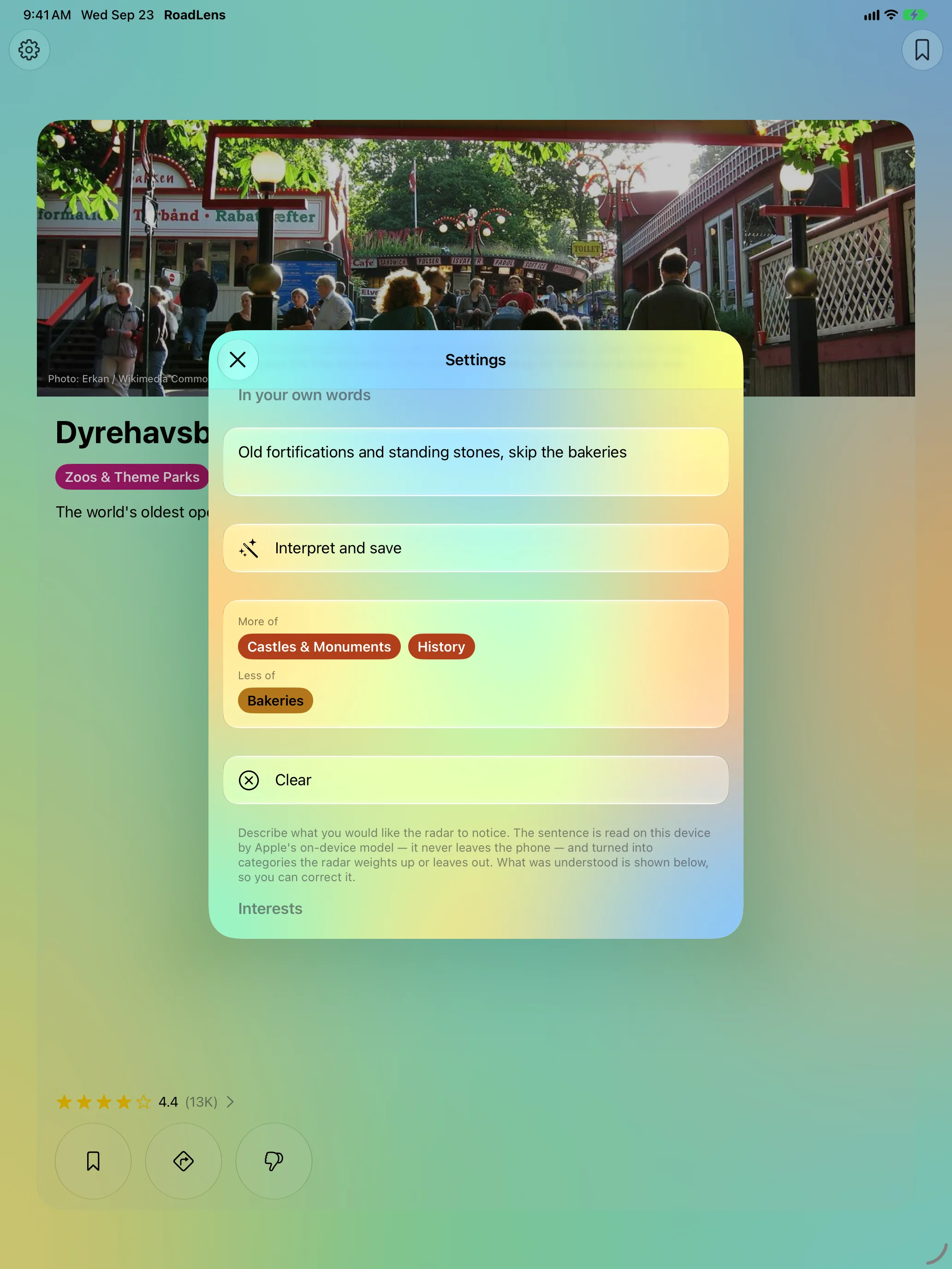
Say What You’re After
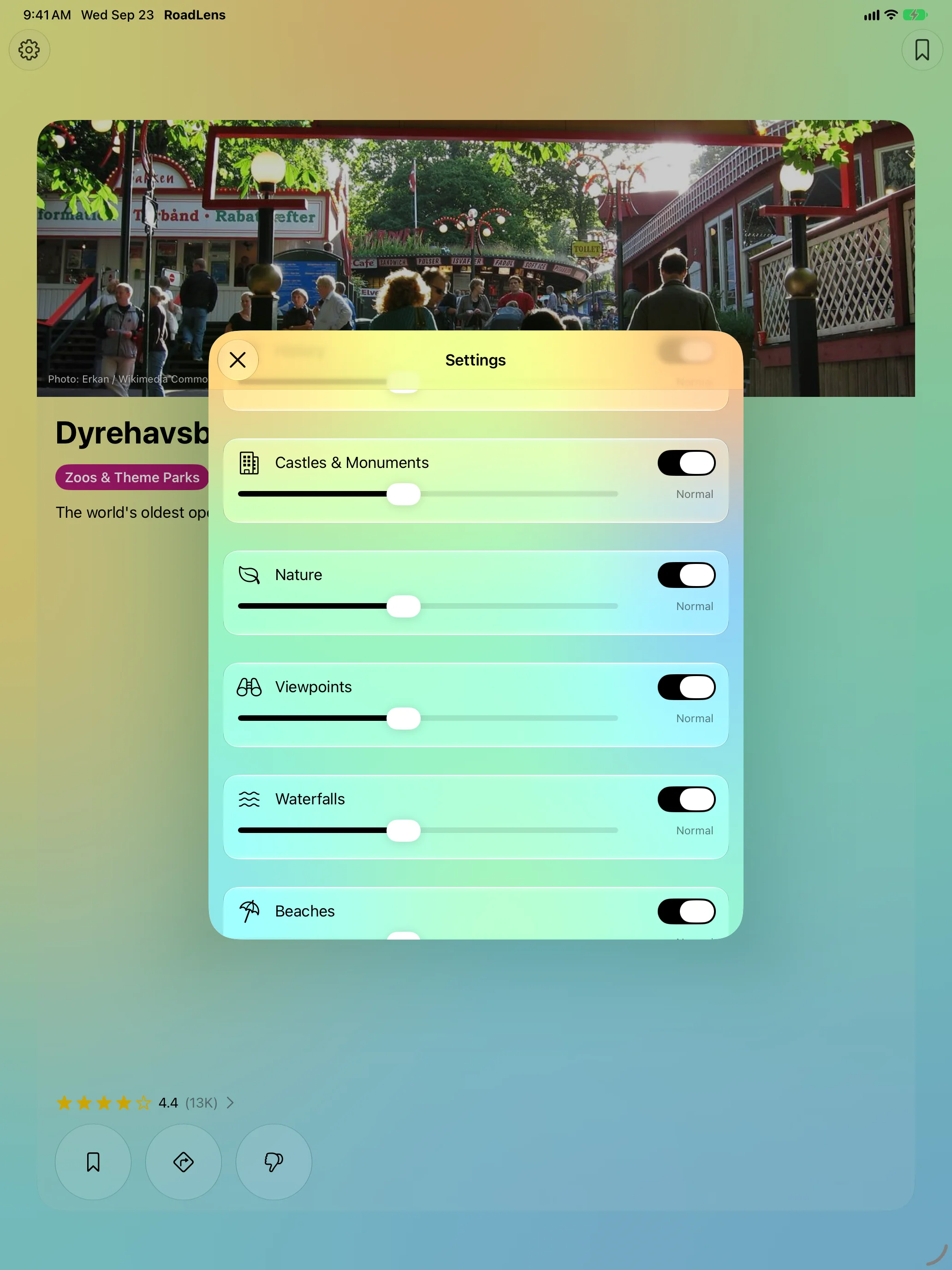
Only What You Care About
Apple Watch
The Same Radar, on Your Wrist
Features
One Card, Two Seconds
The photo is the biggest thing on the card, with the distance and an arrow pointing the way right on it. Nothing scrolls. When several places are close, they stack into a deck behind the front card.
No Route Needed
No destination to type and no route to plan. RoadLens follows where you are heading and only speaks up when something clears the bar.
For the Passenger
Tap the card for what the place is, how far and which way it lies right now, and roughly when you’ll be level with it — then open directions.
Swipe Back, Save for Later
Every place from this drive stays one swipe back along the rail. Save the ones you want for the way home.
Your Interests
Castles, history, nature, viewpoints, waterfalls, beaches, trails, geology, museums, family attractions, bakeries, local food, playgrounds, campsites and stopovers — switch each on or off and tune how often it turns up. On supported devices, just describe what you’re after in a sentence.
On Apple Watch
Not a remote control: the watch runs the same radar on its own and can keep watching for an hour while your phone stays in your pocket.
About
RoadLens is built for the dashboard: large text, big targets, and a screen you can ignore. The card stays quiet until something is genuinely close, and a place you’ve dismissed never comes back.
Distances are measured in a straight line. The road may be considerably longer, and there may be no road at all.